Pantnagar Airport
Pantnagar Airport, Pantnagar Information
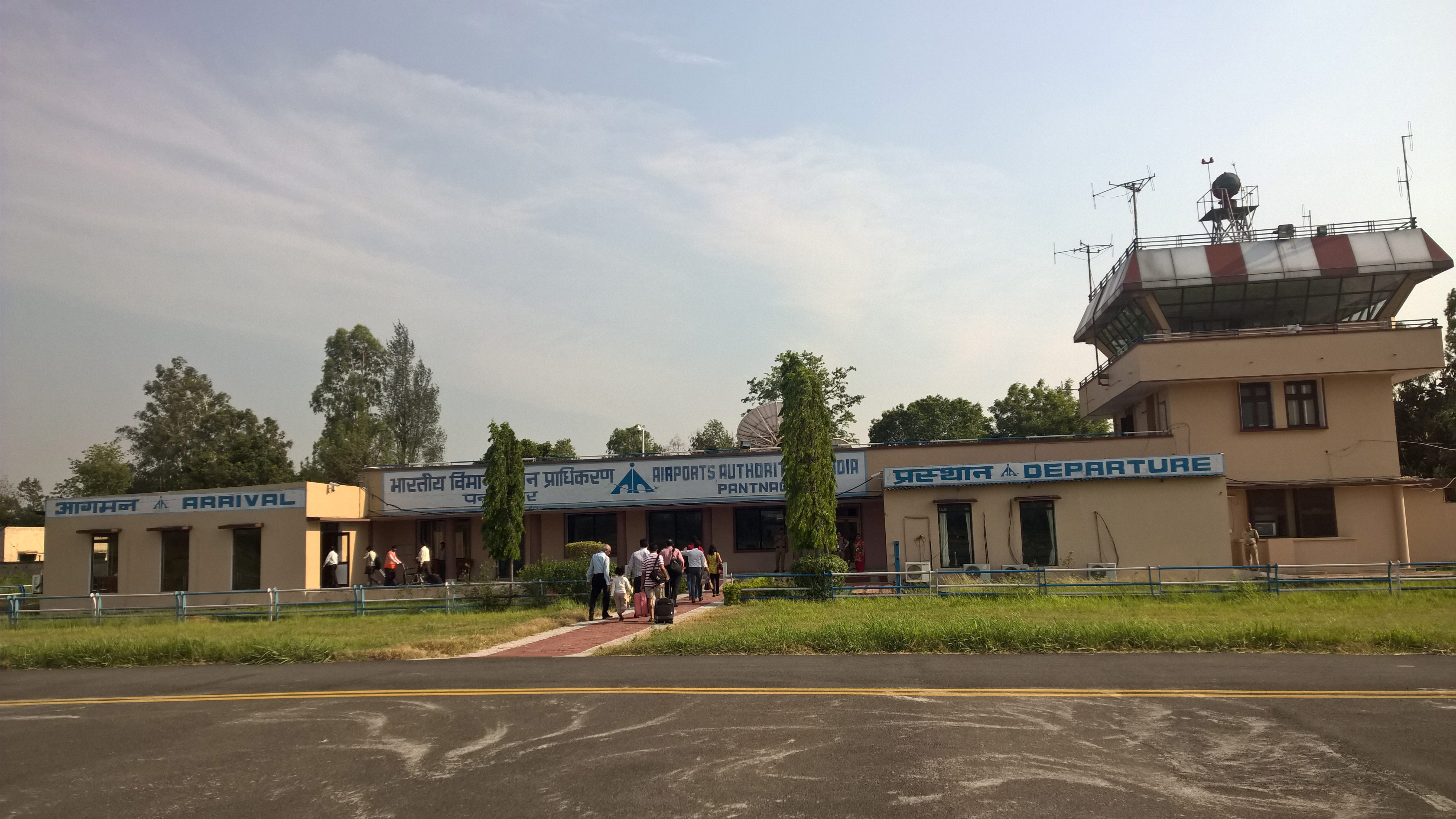
Located in Pantnagar in of Udham Singh Nagar district in Uttarakhand, the Pantnagar Airport is the nearest airport to many hill stations including Nainital, Bhimtal, Ranikhet, Almora, and Jim Corbett National Park.
Airport Information
|
Pantnagar Airport IATA Code: PGH |
Pantnagar Airport ICAO Code: VIPT |
|
Latitude: 29.0329 |
Longitude: 79.4722 |
|
City: Pantnagar |
Country: India |
|
World Area Code: 733 |
Airport Type: Medium |
|
Pantnagar Airport Address / Contact Details: |
|
|
Airport Type: Public |
|
|
Operator: Airports Authority of India |
|
|
Timezone: GMT +5:30 hours |
|
Airlines and Destinations
|
Airlines |
Destinations |
|
Alliance Air |
Delhi |
Facilities
- Baggage Services
Connectivity
Bus: 45 km from the Bus Stand.
Rail: 5 km from Pantnagar Railway Station.
About Pantnagar
Pantnagar is famous for having the first agriculture university of India. There are many hill stations around Pantnagar namely Nainital, Ranikhet, Almora, Kashipur, Rudrapur, Kiccha and Haldwani.
Pantnagar is well-connected through air route to all major cities in India. Book cheap flights to and from Pantnagar Airport at lowest airfare.
